By Collin Eaton and Kathy Finn
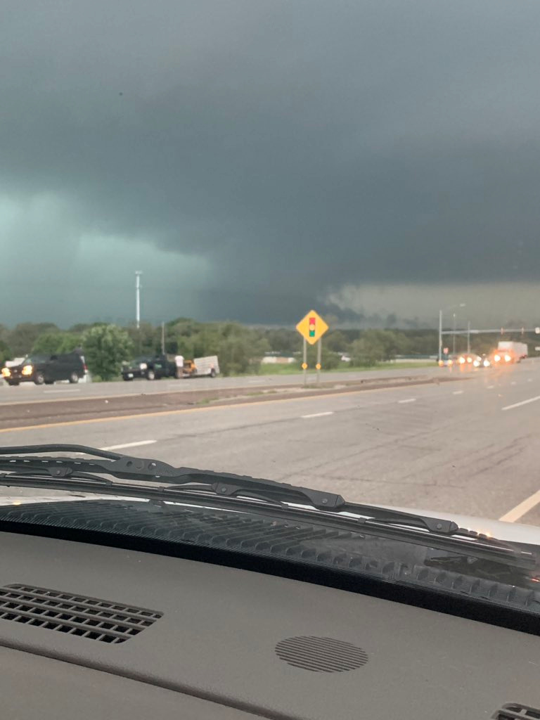
NEW ORLEANS (Reuters) – Coastal Louisiana felt the first blow from Tropical Storm Barry’s winds early on Friday as the slow-moving tempest was forecast to become the first Atlantic hurricane of 2019 threatening to bring rain and flooding to New Orleans later in the day.
U.S. President Donald Trump declared a state of emergency for Louisiana late Thursday, hours after the region’s oil production was cut in half as energy companies evacuated offshore drilling facilities and a coastal refinery.
Tropical Storm Barry packed maximum sustained winds of 50 miles per hour (85 km per hour) early Friday and was centered 95 miles (155 km) southwest of the mouth of the Mississippi River.
Barry will likely strengthen into a hurricane, the National Hurricane Center said, with winds of at least 74 mph (119 km) by the time it comes ashore late Friday or early Saturday, but officials warned that torrential rains posed the greatest danger.
Authorities kept a close eye on the levee system built to contain flooding along the lower Mississippi River that winds through the heart of New Orleans and has been running above flood stage for the past six months.
Barry was forecast to bring a coastal storm surge into the mouth of the river that could push its crest to 19 feet (5.79 m)on Saturday. That would be a foot lower than initially predicted but still the highest since 1950 and dangerously close to the top of the city’s levees.
Meteorologists predicted as much as 25 inches (64 cm) of rain could fall, leading to life-threatening flooding along parts of the Gulf Coast on Friday and Saturday.
The brunt of the storm was expected to skirt the western edge of New Orleans, avoiding a direct hit. New Orleans Mayor LaToya Cantrell said the city has not ordered any voluntary or mandatory evacuations. But she added that 48 hours of heavy downpours could overwhelm pumps designed to purge streets and storm drains of excess water in the low-lying city.
“There is no system in the world that can handle that amount of rainfall in such a short period,” Cantrell said on Twitter.
Louisiana Governor John Bel Edwards warned: “The more information we get, the more concerned we are that this is going to be an extreme rain event.”
Officials from the U.S. Army Corps of Engineers, which maintains the levees, insisted that no significant breaching of the 20-foot-tall levees in New Orleans was likely.
Some residents, recalling the deadly, devastating floods unleashed by Hurricane Katrina in 2005, said they were determined to get out of harm’s way.
Others flocked to supermarkets for bottled water, ice, snacks and beer, thronging grocery stores in such numbers that some ran out of shopping carts.
Throughout the city, motorists left cars parked on the raised median strips of roadways hoping the extra elevation would protect them from flood damage.
A concierge at the luxury Hotel Monteleone in New Orleans noted many cancellations ahead of the storm. The hotel had been hosting the Delta Sigma Theta Sorority’s 54th national convention and most attendees checked out early, said the concierge, who declined to give her name.
A tropical storm warning was in place for metropolitan New Orleans, and a hurricane warning was issued for a stretch of the Louisiana coast south of the city.
Mandatory evacuation orders were issued for areas of Plaquemines Parish beyond the levees southeast of the city, and for low-lying communities in Jefferson Parish, to the southwest.
(Additional reporting by Gabriella Borter in New York and Rich McKay in Atlanta; Writing by Scott Malone and Steve Gorman; Editing by Raissa Kasolowsky and Jeffrey Benkoe)