From icy Texas to snowy Seattle, frigid weather blankets huge swath of U.S.

(Reuters) – Winter weather battered the United States from coast to coast on Thursday as a series of storms expected to last for days mixed with an arctic air mass to bring snow and freezing rain as far south as Texas where there was a deadly multi-vehicle pileup.

A line of freezing rain stretched from Texas to West Virginia, with some of it accumulating one-quarter to one-half inch, according to meteorologist Marc Chenard at the National Weather Service’s Weather Prediction Center in College Park, Maryland.

Among the areas to get a coating of freezing rain during the Thursday morning rush hour was Fort Worth, Texas, where local media reported that at least five people were killed in a massive pileup of some 70 vehicles on an interstate highway.

Video at the scene showed dozens of smashed cars and trucks, some literally piled on top of one another on a wet roadway and under cloudy skies.

The Texas precipitation was part of a system that was bringing rain to several southeastern states and modest amounts of snow to West Virginia, Maryland and New Jersey, but was winding down, Chenard said.

A separate system will make its presence felt in the mid-Atlantic area on Saturday, he said.

“That may bring potentially significant freezing rain accumulations to portions of Virginia and Maryland,” he added.

Meanwhile, another weather system was making its way into the Pacific Northwest where it was forecast to remain through Saturday and bring as much eight inches (20 cm) of snow to normally rainy Seattle and 12 inches (30 cm) to Portland, Oregon. Seattle averages about 6 inches of snow in an entire winter season.

“An event of this magnitude is rare,” said Chenard.

That weather system is forecast to make its way eastward, bringing significant snowfall to the upper Midwest over the weekend and freezing rain south almost to Gulf Coast of Texas.

“There likely will be winter weather impacts in the East by early next week,” Chenard added.

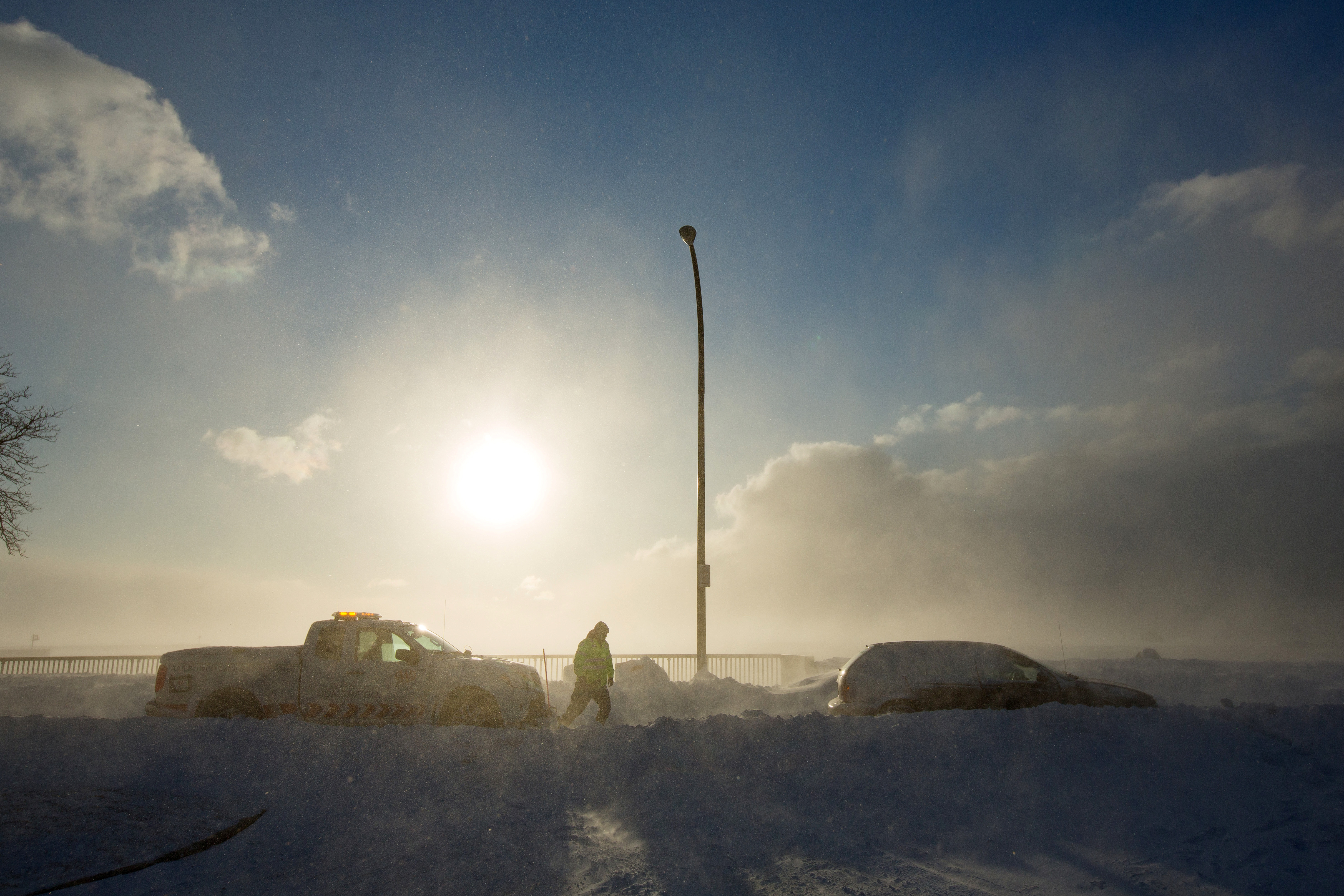
The storm systems, which normally would have brought rain, have been converted into snow and ice makers by a polar air mass that has descended upon much of the country, bringing frigid temperatures before beginning to recede in the middle of next week, Chenard said.

Recent low temperatures in the upper United States from Montana to Wisconsin have ranged from minus 35 to minus 40 degrees Fahrenheit (minus 37 to minus 40 degrees Celsius).

(Reporting by Peter Szekely in New York; Editing by Bernadette Baum)

Icy blast begins to ease in U.S. Midwest, Northeast

A worker from AAA aids vehicle trapped in snow during the polar vortex in Buffalo, New York, U.S., January 31, 2019. REUTERS/Lindsay DeDario

By Michael Hirtzer and Gina Cherelus

CHICAGO/NEW YORK (Reuters) – Frigid weather that paralyzed a large swath of the United States this week and caused at least 21 deaths began easing on Friday as an Arctic air mass pulled away, setting the stage for a warmer weekend in the Midwest and the Northeast.

Temperatures from southern New England to the Upper Midwest should reach the mid-40s to low 50s Fahrenheit through the weekend and Monday, forecasters said, after a record-breaking cold snap that stopped mail deliveries in some parts of the Midwest and shuttered schools and businesses.

In Chicago, which experienced temperatures as low as minus 22F (minus 30 Celsius) earlier this week, temperatures of 19F (-7C) on Friday morning felt positively balmy as a measure of normalcy returned to the nation’s third-largest city.

“It feels like summer,” said Dolores Marek, 57, as she got off her commuter train in Chicago wearing a long parka coat as set out on the 1.5 mile-(2.4 km) walk to the local college where she works. “This is much better than it was.”

Meteorologists linked the spell of brutal cold to the so-called polar vortex, a cap of icy air that usually swirls over the North Pole. Changing air currents caused it to slip down through Canada and into the U.S. Midwest this week.

Bryan Jackson, a National Weather Service meteorologist, said the core of the vortex was pulling north into eastern Canada, though residual icy air was still pushing over to the U.S. Northeast.

Temperatures on Friday morning ranged from below zero Fahrenheit to the teens in parts of New York, Pennsylvania, Massachusetts and New Jersey. The Washington D.C. area, which had 20F (minus 7C) temperatures, was under a winter weather advisory until the afternoon as around one inch (2.5 cm) of snowfall accumulated during the morning.

“That cold air that was over the Great Lakes, over the Midwest, has shifted off. Now the high pressure is over Pennsylvania and New York,” Jackson said in a phone interview. “As it moves east, it’ll bring in air from the south and we do expect it to warm up over the weekend.”

Rachel Liao, 29, a student at the New School in New York, said she wished classes had been canceled due to the cold.

A woman takes a selfie in front of a mostly frozen Bryant Park fountain, as record low temperatures spread across the Midwest and Eastern states, in New York City, U.S., January 31, 2019. REUTERS/Brendan McDermid

A woman takes a selfie in front of a mostly frozen Bryant Park fountain, as record low temperatures spread across the Midwest and Eastern states, in New York City, U.S., January 31, 2019. REUTERS/Brendan McDermid

“I just want to stay inside,” Liao, a New York native, said. “I’m not used to this.”

Temperatures in the Upper Midwest, including Illinois, Indiana and Ohio, will reach well above zero F (minus 18C) on Friday, with highs making it into the teens and low 20s.

Even so, parts of Minnesota, Wisconsin, Michigan and Iowa were still experiencing temperatures in the negative single digits, Jackson said.

The lowest temperature recorded early Friday morning was minus 34F (minus 37C) in Stonington, Michigan, according to the National Weather Service.

By Saturday, highs will be in the 30s and even low 40s in the Midwest. The central Plains will be in the low 60s, nearly 20 to 25 degrees above normal, the weather service said.

More than 40 cold-temperature records were broken on Thursday, the coldest morning since the polar vortex moved in late on Tuesday. The mass of Arctic air had clung to a swath of the United States from Iowa and the Dakotas across the Great Lakes region and into Maine for days.

Officials across multiple states linked at least 20 deaths to the deep freeze. The death toll rose after at least nine more people in Chicago were reported to have died from cold-related injuries, according to Stathis Poulakidas, a doctor at the city’s John H. Stroger Jr. Hospital.

Amtrak train services that had been halted since Wednesday in Chicago’s hub resumed on Friday, as did U.S. postal service that was halted or limited in six Midwest states.

Thousands of flights were canceled and delayed earlier in the week, mostly out of Chicago, but on Friday the flight-tracking site FlightAware reported cancellations in the United States down to more than 400.

(Reporting by Rich McKay in Atlanta and Gina Cherelus in New York; Additional reporting by Peter Szekely and Gabriella Borter in New York and Michael Hirtzer in Chicago; Editing by Larry King, Jonathan Oatis and Frances Kerry)